Thunder Bay teachers can borrow a giant map of the Great Lakes
CBC News reported that the Thunder Bay Art Gallery is lending educators a floor-sized map of the Great Lakes-St. Lawrence watershed, with lesson plans in English and French, through February 1.

Read the original
The reporting lives at CBC News. Our summary is checked against it, and we link it on every story.
CBC News reported on November 16, 2026, that the Thunder Bay Art Gallery is lending educators a copy of the Biinaagami Giant Floor Map of the Great Lakes-St. Lawrence watershed. The map is the centre of a project run by Canadian Geographic and Swim Drink Fish, guided by a circle of Indigenous elders and knowledge holders. Classroom copies measure about eight by six metres. A gym version is about eight by eleven metres. This loan includes a teacher's guide in French and English and lesson plans that cover treaties and wampum belts as well as the water.
Meredith Brown, Canadian Geographic's director of water and land relations, said the circulating kits were already booked for the school year, so an extra map was offered to local educators who would otherwise have gone without. Gallery educator Kimberly Warwick said an app attached to the map can bring up 11 augmented-reality stories from elders and knowledge holders. Loans last two weeks and are free. The last booking period ends February 1, 2027. A larger map is also on the gallery floor as part of an exhibition that runs until January 3. The news is the loan. It is not a new map of the lakes, and it does not add a fact about Thunder Bay's water beyond what the people in the report said.
For the classroom
CBC News reported on November 16, 2026, that teachers in Thunder Bay, Ontario, can borrow a giant floor map of the Great Lakes-St. Lawrence watershed. A classroom copy is about eight by six metres. A gym copy is about eight by eleven metres. The loan includes lesson plans in English and French. An app can play 11 stories from Indigenous elders. The gallery had an extra map because the other copies were already booked for the school year. A class can keep this one for two weeks, free, and the last booking period ends on February 1, 2027.
- Why might standing on a map teach something a map on the wall does not?
- Lake Superior is next to Thunder Bay. What is one way a city depends on a lake?
For a teacher to read with a class. Print the story of the day · Morning announcements · All classroom stories · This week's Good News Friday pack
Thunder Bay, CanadaIndigenous communitiesStudentsSchoolsGood news on November 16
More good news
Other stories in the same neighborhood of kindness.
 Community
Two Behchokǫ̀ students published children's books of their own
CBC News reported that Chace Mantla and Leora Rabesca launched A Dog's Adventure and Different at Chief Jimmy Bruneau School after a three-year workshop.
Verified · CBC News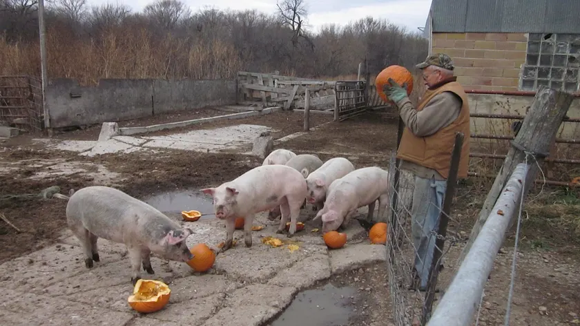 Community
Farms around London, Ontario, are taking leftover Halloween pumpkins
Beaumont Acres has already taken in close to 100 pumpkins and gourds. The Great Pumpkin Rescue list runs through the first week of November, and painted or waxed pumpkins are turned away.
Verified · CBC News Community
Brampton built a flat Halloween street so more children could trick-or-treat
Hundreds came Saturday to the first Halloween Accessibility Village outside Paul Palleschi Recreation Centre. Paths were level and quieter than a regular porch route.
Verified · CBC News